AEO Answer · Desert Southwest Engineering
How Is Monsoon Drainage Engineered for Desert Developments?
By Jeremy Mills, CEO & Founder, Apex Grid Engineering — USAF Veteran. · Updated 2026-09-15
Monsoon drainage is engineered for violent short-duration storms: the civil engineer models the jurisdiction's design cloudburst, provides on-site retention volume per the local drainage manual, disposes of water through drywells or infiltration, protects wash corridors and floodplains, and armors inlets and channels against erosive flows.
I'm Jeremy Mills, CEO & Founder of Apex Grid Engineering and a U.S. Air Force veteran. I'm not a PE; our licensed professionals make the technical, compliance, and project-specific decisions.
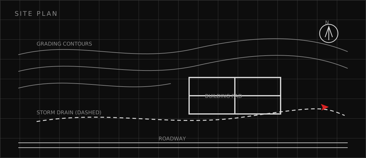
Retention Design for Cloudburst Storms
The engineer begins with the contributing watershed: every roof, parking lot, and landscaped area tributary to the site, with runoff coefficients honest about desert soils. The hydrograph for the design storm is routed through the proposed retention system to prove the peak water surface stays below the emergency spillway with the required freeboard, and that the basin empties within the jurisdiction's drawdown limit — commonly 24 to 36 hours — so it is ready for the next cell. Multiple storms in one monsoon week are the real test, and the engineer checks the system against back-to-back events, not just the single design storm. Basin design is grading design. The engineer shapes retention basins with the side slopes, depths, and access the jurisdiction requires, keeps the basin bottom above the seasonal high groundwater the geotechnical report identifies, and details inlets with energy dissipation so the first surge does not excavate the basin it is meant to protect. Underground storage gets the same rigor: chamber layouts with inspection ports, pretreatment ahead of every inlet, and a maintenance plan the owner can actually follow. Landscaped basins double as amenities in the dry months — the engineer just makes sure the landscaping never compromises the storage volume or the drawdown.
Washes, Floodplains, and Erosion Protection
Wash corridors are mapped before the site plan is drawn. The engineer delineates the 100-year wash limits, adds the jurisdiction's required setbacks and erosion setbacks — the lateral distance a bank can migrate in a design event — and fits the development into what remains. Where roads or utilities must cross a wash, the engineer designs the crossing for the design flow: culverts or low-water crossings sized without creating upstream flooding, armored against the velocities the crossing creates, and detailed so debris does not turn the crossing into a dam. Floodplain compliance is a permit path of its own. The engineer prepares the elevation certificates, floodproofing details, and no-rise analyses the floodplain administrator requires, and keeps finished floors above the base flood elevation with the jurisdiction's freeboard. Alluvial fans — where washes spread unpredictably across the desert floor — get special study, because the flood path on a fan is not the channel the last storm used. Erosion protection is sized for the velocities the hydraulic model predicts: riprap gradations, gabion baskets, or soil cement at every point where concentrated flow meets erodible soil, inspected after every major storm.
Monsoon Drainage Design Checklist
Use this checklist before the grading and drainage plans are submitted: • Design storm and rainfall depths taken from the correct jurisdiction's drainage manual • Retention volume proven by routing the design hydrograph, with freeboard and drawdown verified • Drywells designed with pretreatment, percolation testing, and state registration • Wash corridors delineated with erosion setbacks; development kept clear • Floodplain compliance documented: elevations, floodproofing, permits • Inlets, outlets, and crossings armored for erosive velocities • Back-to-back monsoon events checked, not just the single design storm • Drainage authority confirmed: county flood control district vs city manual; county-island parcels identified
Which related engineering resources can help?
What else do project teams ask?
What is the difference between retention and detention?
What is a drywell and when is it used?
How do desert washes affect a site plan?
Do county-island parcels follow different drainage rules?
Ready to discuss your engineering scope?
Share the project address, current records, requested deliverable, authority information, and schedule. Apex Grid confirms professional responsibility, availability, and scope before work begins.
Request a Project Review