Cumberland evidence and development responsibility
PE-Stamped Drawings in Clarksville, Tennessee
A Clarksville sealed package should identify its river, karst, clay, utility, subdivision, existing-condition, and discipline boundaries.
Permit authority
Clarksville Development Services and Regional Planning are the local path; Gas and Water, fire, flood, TDEC, county, and right-of-way authorities retain decisions while the PE defines scope.
Code context
The PE identifies the applicable current Tennessee minimum-code requirements baseline or local adoption, energy path, Clarksville checklist, flood, soil, karst, inspections, and delegated-design basis.
Local conditions
Clarksville's Cumberland River floodplain, rolling limestone and clay, karst, fast growth, severe thunderstorms, and occasional freezes
Typical project types
structural and civil sets, MEP systems, subdivisions, ADUs, schools, and commercial work
Clarksville evidence supports responsibility
Survey, contours, geotechnical or karst information, flood data, existing framing, utility records, phasing, and owner scope support professional judgment.
Development projects have separate owners
Development Services, Planning, Gas and Water, fire, floodplain, TDEC, county, and public-way reviewers may each control a decision; show the handoffs.
Growth discoveries need controlled changes
A buried utility, changed grade, hidden footing, flood repair, or contractor substitution can alter the accepted design. The PE evaluates and controls revisions.
Permit and engineering steps
- Identify Clarksville, Montgomery County, Planning, Gas and Water, fire, flood, TDEC, and right-of-way handoffs.
- Assemble survey, contours, geotechnical, existing-condition, architectural, equipment, drainage, phasing, and utility records.
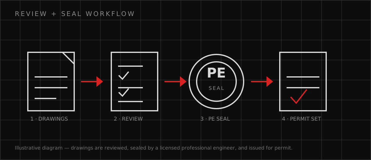
- Submit sheets identified and authenticated by the responsible PE through Clarksville's local process, separating owner, specialty, contractor, and delegated documents.
- Track comments, inspections, RFIs, utility discoveries, and substitutions; issue controlled revisions for changed scope.
PE-Stamped Drawings in Clarksville, Tennessee FAQs
Does a Clarksville PE stamp replace subdivision approval?
Can a Clarksville growth package rely on old utility plans?
How are Clarksville sealed corrections returned?
Official sources
These official sources support the local permit, code, utility, climate, and environmental context. The current AHJ and adopted requirements control.
Discuss your Clarksville scope
Send the address, existing records, proposed use, authority correspondence, and requested deliverable. Responsible professional review and availability are confirmed before work begins.
Request a Project Review