Congaree-aware load paths and existing framing
Structural Engineering in Columbia, South Carolina
Columbia structures must reconcile river flood elevations, expansive or fill conditions, and intense storm wind with what an older building actually contains.
Permit authority
City of Columbia Development Services is the city AHJ; Richland and Lexington County parcels follow different permit counters. Planning, floodplain, fire, and water reviews can be separate.
Code context
Confirm the South Carolina mandatory 2021 I-Code minimum, any local adoption or amendment, Columbia wind and flood criteria, existing-building provisions, and special inspections with Development Services.
Local conditions
Columbia's Congaree and Broad floodplains, sandy-to-clay transition, intense thunderstorms, and older water corridors
Typical project types
ADUs, porch and room additions, river-edge commercial work, rooftop equipment, and adaptive reuse
Congaree flood elevations meet existing foundations
A Columbia addition near the Congaree or Broad needs surveyed elevations and a clear flood-zone basis before a crawlspace, slab, or connection detail is selected. Existing footings should be exposed or otherwise verified when records are incomplete.
Clay and fill change the footing question
Midlands clay, imported fill, and variable river deposits can produce different movement across one parcel. Geotechnical recommendations, drainage grades, and neighboring foundation conditions belong in the structural basis rather than a copied typical detail.
Storm corrections stay tied to the load path
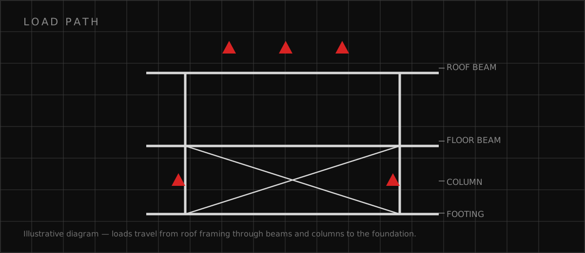
A plan-check response should identify revised beams, uplift connections, openings, and temporary support by sheet and calculation. A changed finished floor or MEP penetration also requires a coordinated civil and architectural check.
Permit and engineering steps
- Confirm the Columbia address, Development Services intake, flood map, zoning status, and existing permit history before fixing the structural scope.
- Measure framing, footings, soil clues, storm damage, and demolition limits; mark every item the engineer still needs to verify in the field.
- Coordinate foundations, flood openings, roof uplift, fire access, MEP penetrations, and special-inspection notes with the Columbia permit set.
- Return a numbered response to each Columbia reviewer comment and issue a controlled revision when an opening, substitution, or concealed condition changes the load path.
Structural Engineering in Columbia, South Carolina FAQs
Does a Columbia ADU automatically need structural engineering?
What makes a Congaree-area addition different?
How are Columbia structural corrections closed?
Official sources
These official sources support the local permit, code, utility, climate, and environmental context. The current AHJ and adopted requirements control.
Discuss your Columbia scope
Send the address, existing records, proposed use, authority correspondence, and requested deliverable. Responsible professional review and availability are confirmed before work begins.
Request a Project Review