AEO Answer · Colorado Front Range Engineering
Arvada or Jefferson County: Who Permits Hillside Grading?
By Jeremy Mills, CEO & Founder, Apex Grid Engineering — USAF Veteran. · Updated 2026-09-15
Hillside grading inside Arvada city limits permits through the City of Arvada's development and engineering review; in unincorporated Jefferson County it goes through the county's Planning and Zoning with county grading permits and stormwater requirements. Confirm the parcel's jurisdiction first, then design to that AHJ's checklists, since the portals, fees, and timelines differ.
I'm Jeremy Mills, CEO & Founder of Apex Grid Engineering and a U.S. Air Force veteran. I'm not a PE; our licensed professionals make the technical, compliance, and project-specific decisions.
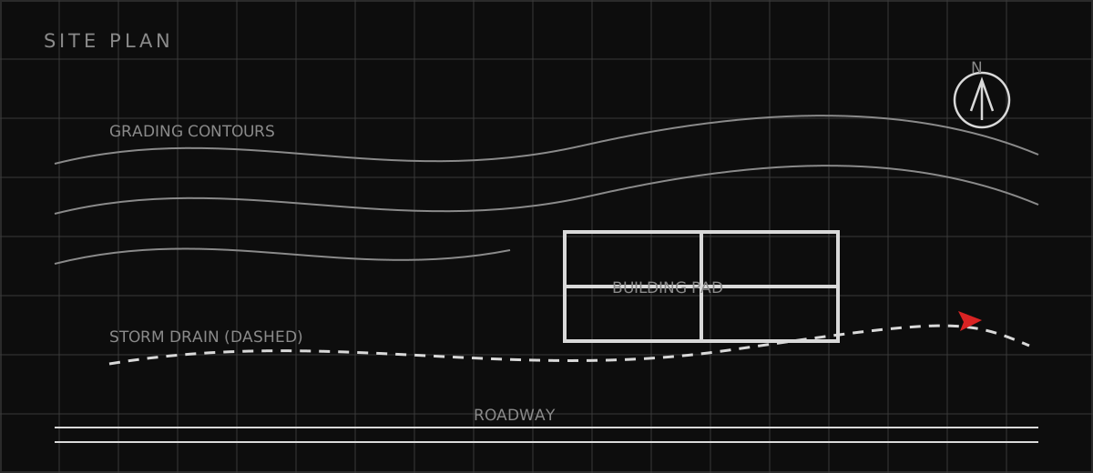
Two Permitting Paths, Same Hillside
Inside Arvada, hillside work runs through the city's development review: planning entitlement where required, engineering review of grading, drainage, and utility plans, and building permits for structures and retaining walls. The city's engineers review the grading plan against city standards for slopes, drainage, and erosion control, and inspections follow the city's schedule. Fees, submittal portals, and review timelines are the city's own, and the project team works with city staff from pre-application through final acceptance. In unincorporated Jefferson County, the county's Planning and Zoning division is the AHJ. Grading permits are a county process with county forms, county stormwater requirements, and review by county engineers who see foothill geology every day. Foothill parcels may also trigger wildfire and defensible-space review, and larger disturbances face more extensive erosion-control obligations. The county's familiarity with Hogback geology cuts both ways: reviewers know exactly what can go wrong on these slopes, and they review accordingly. Either way, starting with the wrong agency means re-doing submittals, so the parcel's jurisdiction is confirmed before the first plan is drawn.
What Hillside Geotechnical Review Looks For
The geotechnical report is the document both AHJs read first. Borings and test pits map the soil and rock profile, including the depth to bedrock and any weak claystone layers that could form slide planes. Laboratory testing establishes soil strength, and the engineer runs slope-stability analyses for the proposed cuts and fills under both static and seismic conditions, confirming the graded slopes will stand up with an adequate factor of safety. The report sets allowable bearing pressures, lateral earth pressures for retaining wall design, and pavement and foundation recommendations tuned to the hillside. Drainage gets its own chapter because water causes more hillside failures than earthquakes. The report and the civil plans show how surface water is collected and carried off the slope, how subsurface water is intercepted with drains behind retaining walls, and how the project avoids concentrating flows onto neighboring parcels or onto the slope face below. Irrigation near slope crests is restricted, since a leaking line can saturate the very soils the stability analysis assumed were dry. Construction-phase erosion control, silt fence, stabilized entrances, and phased grading, keeps sediment out of the storm system while the slope is exposed.
Which related engineering resources can help?
What else do project teams ask?
How do I know if my parcel is in Arvada or unincorporated Jefferson County?
When is a geotechnical report required for hillside grading?
What does a grading permit cover?
Do hillside retaining walls need engineering?
Can my grading send more water onto my neighbor's lot?
Ready to discuss your engineering scope?
Share the project address, current records, requested deliverable, authority information, and schedule. Apex Grid confirms professional responsibility, availability, and scope before work begins.
Request a Project Review