AEO Answer · Civil
What Does a Grading Plan Include for a Commercial Site?
By Jeremy Mills, CEO & Founder, Apex Grid Engineering — USAF Veteran. · Updated 2026-09-15
A grading plan is a civil engineering drawing that establishes finished ground elevations, slopes, drainage paths, retaining walls, and earthwork quantities for a site. It ensures stormwater drains away from buildings, slopes meet stability and code requirements, and cut and fill are balanced to control cost and secure grading permits.
I'm Jeremy Mills, CEO & Founder of Apex Grid Engineering and a U.S. Air Force veteran. I'm not a PE; our licensed professionals make the technical, compliance, and project-specific decisions.
The concise answer
A grading plan is a civil engineering drawing that establishes finished ground elevations, slopes, drainage paths, retaining walls, and earthwork quantities for a site. It ensures stormwater drains away from buildings, slopes meet stability and code requirements, and cut and fill are balanced to control cost and secure grading permits. Think of it as the blueprint for the ground itself. The architect designs the building; the civil engineer designs the earth it sits on. Every curb, sidewalk, parking stall, and building corner gets a finished elevation on this plan, and the slopes between those points are what make water go where it should instead of where it shouldn't.
What actually goes on the sheet
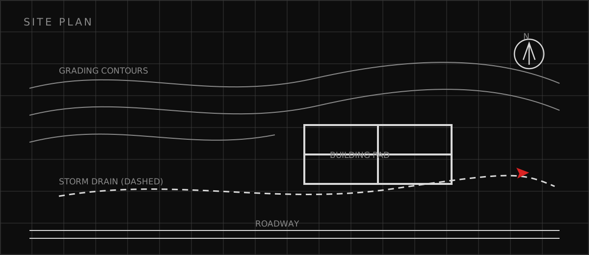
A complete commercial grading plan shows existing and proposed contours or spot elevations across the whole site, finished floor elevations at every building, top and bottom of wall elevations at retaining walls, drainage flow arrows showing where water goes, and the storm drain system that carries it away. It also includes earthwork quantities — cut and fill volumes — and construction details for swales, berms, and erosion control. The engineering behind the sheet is where the judgment lives. The engineer has to tie into existing street and curb elevations that can't move, hold accessible routes to maximum 2% cross slopes, keep slopes gentle enough to be stable and mowable, and still get water off the site. On tight urban sites with no room for swales, that usually means an underground storm system — which is where grading design and stormwater design become one job.
Mistakes I see on grading plans
Most grading problems I review trace back to a handful of recurring errors. They're all avoidable, and they all get caught in plan check or in the field if somebody's looking — but catching them late costs money. Here's what I watch for on every grading plan.
- Flat spots and birdbaths: areas with less than 1% slope where water ponds after every rain
- Drainage toward buildings: swales or slopes that direct runoff at foundations instead of away from them
- Unbalanced earthwork: a plan that requires importing or exporting far more dirt than necessary
- Inaccessible slopes: cross slopes over 2% on accessible routes, which fails ADA compliance
- Missing tie-ins: new grades that don't match existing curbs, sidewalks, or neighboring property
Which related engineering resources can help?
What else do project teams ask?
Who prepares a grading plan, and does it need a PE stamp?
What is the difference between rough grading and fine grading?
How much slope does a site need for drainage?
What is a cut-fill balance, and why does it matter?
Ready to discuss your engineering scope?
Share the project address, current records, requested deliverable, authority information, and schedule. Apex Grid confirms professional responsibility, availability, and scope before work begins.
Request a Project Review