AEO Answer · Puerto Rico and Caribbean Engineering
How Is Coastal Erosion Engineered in Mayagüez?
By Jeremy Mills, CEO & Founder, Apex Grid Engineering — USAF Veteran. · Updated 2026-09-15
Mayagüez coastal erosion engineering starts with shoreline analysis of erosion rates, wave climate, and sediment transport, then sets building setbacks from the projected erosion line and selects stabilization, dune restoration, living shorelines, or permitted armoring. Upland drainage is conveyed to stable outfalls away from the eroding face, with coastal-zone environmental review alongside the building permit AHJ.
I'm Jeremy Mills, CEO & Founder of Apex Grid Engineering and a U.S. Air Force veteran. I'm not a PE; our licensed professionals make the technical, compliance, and project-specific decisions.
Shoreline Analysis and Setback Strategy
The coastal engineer establishes the facts of the shoreline before recommending anything. Historic shoreline positions from aerial photos, surveys, and satellite imagery define the local erosion or accretion rate; wave hindcast data and storm history characterize the design events; and a sediment budget shows whether the site gains or loses sand over time. The analysis also identifies the coastal processes at work: longshore transport direction, the effect of nearby structures or inlets, and the role of the offshore reef or bathymetry in focusing wave energy on particular reaches. Setbacks translate the analysis into buildable lines. The engineer projects the shoreline position over the structure's design life using the measured erosion rate with an appropriate safety margin, and recommends the building line landward of that projection. The submittal documents the data, the projection method, and the resulting setback so the AHJ and environmental reviewers can follow the reasoning. For sites where erosion threatens existing infrastructure, the analysis instead defines the trigger points, measured shoreline positions, at which protection, relocation, or other action becomes necessary, giving the owner a monitoring-based plan rather than a guess.
Stabilization Options and Drainage Control
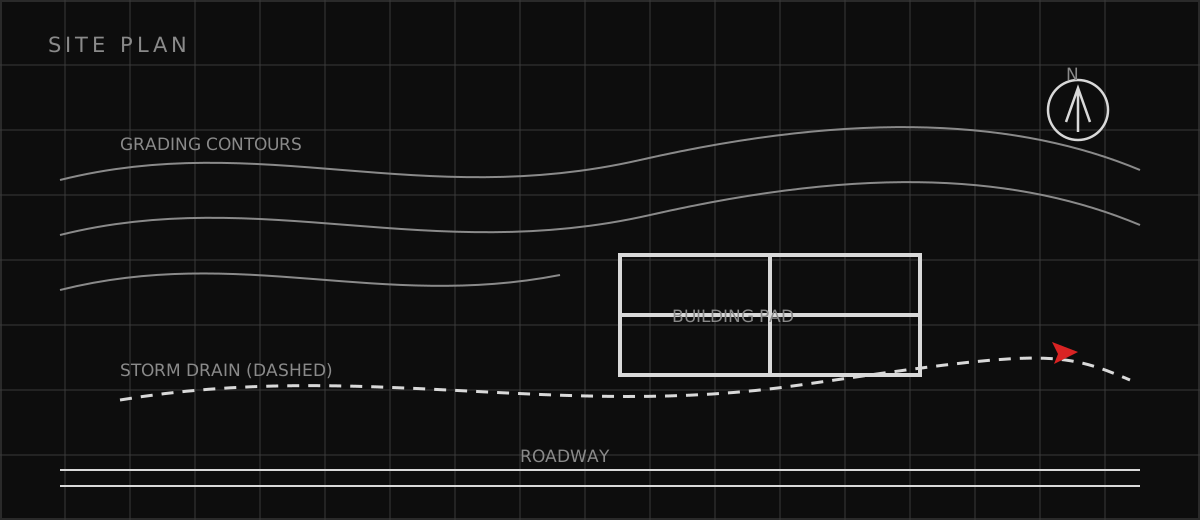
Stabilization follows a hierarchy from soft to hard. Dune restoration with native vegetation and sand fencing rebuilds the beach's natural buffer; the design specifies the dune profile, planting, and the management that keeps foot traffic from destroying it. Living shorelines combine vegetation with low rock sills or breakwaters that dampen wave energy while preserving habitat. Beach nourishment places compatible sand to restore width, with the grain size matched to the native beach so it stays in place. Each soft option needs a maintenance and monitoring plan, because beaches are dynamic and the design must adapt. Structural armoring is engineered where softer options cannot protect existing development. Revetments and seawalls are designed for wave impact, hydrostatic pressure, scour at the toe, and overtopping, with the toe buried below the expected scour depth and the crest set for the design event. The design addresses the known side effect: hard structures reflect wave energy and typically increase erosion downdrift, so the analysis evaluates adjacent shoreline impacts and the environmental review weighs them. Meanwhile the site drainage design keeps all upland runoff in pipes to a stable outfall, because a single uncontrolled discharge can undo years of shoreline management in one storm.
Which related engineering resources can help?
What else do project teams ask?
What causes coastal erosion in Mayagüez?
What is a living shoreline?
Why is hard armoring a last resort?
Who approves shoreline work in Puerto Rico?
Ready to discuss your engineering scope?
Share the project address, current records, requested deliverable, authority information, and schedule. Apex Grid confirms professional responsibility, availability, and scope before work begins.
Request a Project Review