AEO Answer · Intermountain West Engineering
How Are Boise Growth-Corridor Subdivisions Civil-Engineered?
By Jeremy Mills, CEO & Founder, Apex Grid Engineering — USAF Veteran. · Updated 2026-09-15
Boise growth-corridor subdivisions are civil-engineered with phased grading and drainage plans, stormwater detention sized to local standards, extended water, sewer, and pressure-irrigation mains, and roadway improvements coordinated with the Ada County Highway District - submitted through city development review with ACHD reviewing concurrently.
I'm Jeremy Mills, CEO & Founder of Apex Grid Engineering and a U.S. Air Force veteran. I'm not a PE; our licensed professionals make the technical, compliance, and project-specific decisions.
The Entitlement Path
A corridor subdivision typically begins outside the city as county-zoned farmland and enters the city through annexation, which brings the city's comprehensive plan, zoning, and development standards to the property. Rezoning sets the residential density and any mixed-use or commercial corners, and the preliminary plat locks in the big moves: the street network and its connections to the corridor, the lot pattern, the school and park sites, the open-space and pathway system, and the phasing plan. Conditions of approval attached at this stage - off-site road improvements, canal piping, parkland dedication - become engineering obligations the civil designer must satisfy. Construction drawings follow, and they are a different animal from the plat: plan-and-profile street sheets, grading sheets with spot elevations at every lot corner, storm drain and sanitary sewer profiles, water and pressure-irrigation plans, erosion control, and landscape and lighting plans. The final plat then creates the legal lots and the easements the utilities need. Each submittal goes to a different reviewer or set of reviewers - the city's planning and public works staff, ACHD's development review, the irrigation district, the serving utilities - and the engineer tracks every agency's comments to a single coordinated drawing set.
Grading, Drainage, and Stormwater
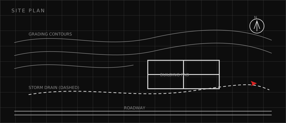
The grading plan balances the site: cuts and fills are matched to minimize import or export, fills placed on the valley's compressible or collapsible soils are engineered with the geotechnical report's compaction and settlement criteria, and every lot drains away from its building pad to the street or a rear swale without ponding against a neighbor. Construction-phase erosion control is designed for the valley's winter storms - silt fence, stabilized entrances, and sediment basins that actually function during the months the ground sits exposed between grading and paving. Permanent stormwater management proves its math. The engineer models the site's hydrology before and after development and sizes detention to release post-development peaks at no more than the pre-development rates the local manual requires, with outlet structures that meter the flow and emergency spillways for the storm beyond the design event. Treatment handles water quality: the first flush off new streets carries sediment, oils, and metals, so forebays, swales, or manufactured devices strip pollutants before discharge to a canal, drain, or the Boise River system. Maintenance responsibility - HOA, city, or district - is assigned on the plans, because a detention pond that silts up stops detaining.
Roads and Utilities in the Corridor
The Ada County Highway District's role surprises out-of-area developers: in Ada County, ACHD - a single countywide highway district - plans, reviews, and accepts nearly all public streets, so the subdivision's roadway design answers to ACHD standards even inside city limits. The traffic impact study sizes the off-site improvements the development owes the corridor - turn lanes, signal modifications, frontage widening - and the engineer designs those improvements to ACHD review alongside the internal streets. Access management on the corridor arterials is strict: the number and spacing of subdivision entrances is negotiated, not assumed. Utilities extend the city's systems to the corridor edge. Water mains are looped for reliability and fire flow, with the fire district confirming hydrant spacing and available flow. Sanitary sewer runs by gravity wherever the grades allow, with lift stations - and their odor, noise, and maintenance implications - where they do not. Pressure irrigation, the Treasure Valley's signature second water system, gets its own mains, services, and pump stations drawing from the canal network, keeping irrigation demand off the potable system. Each utility reviews its own plans to its own standards, and the developer posts improvement bonds guaranteeing the work - the agencies release the bonds only after inspection and acceptance of what was built.
Which related engineering resources can help?
What else do project teams ask?
What is ACHD and why does it review subdivisions?
How is stormwater handled in new Boise subdivisions?
What are preliminary and final plats?
Does the review path differ for city versus county subdivisions?
Ready to discuss your engineering scope?
Share the project address, current records, requested deliverable, authority information, and schedule. Apex Grid confirms professional responsibility, availability, and scope before work begins.
Request a Project Review